


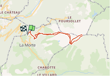

10.3 km | 16.8 km-effort


User


FREE GPS app for hiking
 SityTrail
IGN / Geographical institutes
SityTrail World
The world is yours!
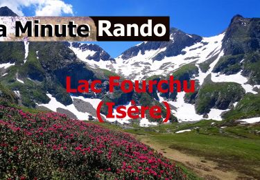
Trail Touring skiing of 15.5 km to be discovered at Auvergne-Rhône-Alpes, Isère, La Morte. This trail is proposed by loicthev.
ski de rando le taillefer
But horaire stop au col du grand Van
19/03/2024
Alexandre
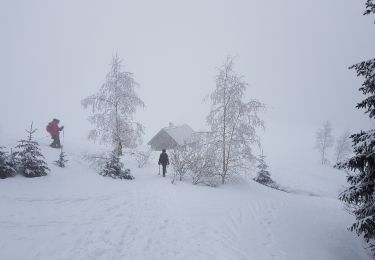
Snowshoes
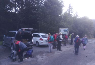
Walking
Walking
Walking
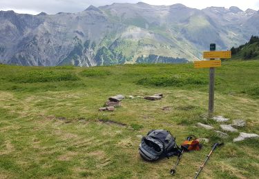
On foot
On foot
Walking
Walking

Walking